
"Nature's secrets are best revealed not from behind a desk, but under the open sky, where the land itself becomes the teacher."
With this philosophy at heart, a dynamic team of researchers from the Indian Institute of Technology and the University of Potsdam embarked on an exhilarating seven-day field school as part of the Natural Hazard Symposium for the Indian Himalayas, 2024. This journey wasn’t just about observing landscapes—it was about immersing ourselves in the powerful narratives of Earth's most dynamic processes.
Day 1 (10/10/2024): Echoes of the Ganges (Roorkee to Shrinagar)
Our adventure began in Rishikesh, where the holy Ganges carves its way through the foothills of the Himalayas. Here Jürgen May eloquently unraveled the story of tectonic plates—forces that have sculpted these mighty peaks over millennia. A short journey led us to Devprayag, the majestic confluence of rivers Bhagirathi and Alaknanda. Discharge measurement techniques were demonstrated against the backdrop of this sacred juncture. The day ended with a stopover in Shrinagar, where we engaged in an insightful discussion about the impacts of tourism on the Indian Himalayan region.
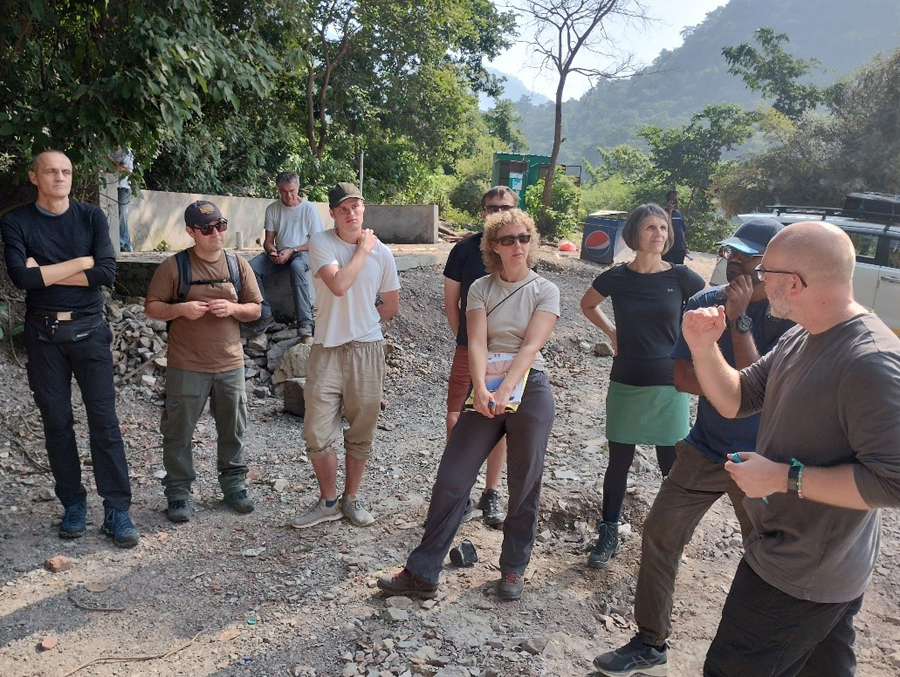
Figure 1: A discussion on the geology of the Indian Himalayas by Jürgen May at Rishikesh
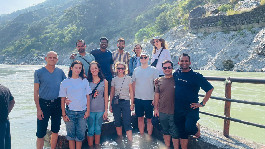
Figure 2: At the confluence of the rivers Alaknanda and Bhagirathi at Devprayag
Day 2 (11/10/2024): The Road Less Stable (Shrinagar to Badrinath)
As dawn broke, we embarked on a journey along the winding roads toward Badrinath, crossing Rudraprayag, Karnaprayag, and Nandaprayag, each confluence narrating its geological story. There were a lot of landslide-affected stretches on the Highway and some tricky sections reminding us of the fragility of human endeavours in the face of nature’s might. After a gruelling 10-hour drive, we arrived in the chilly embrace of Badrinath, eager for the adventures ahead.
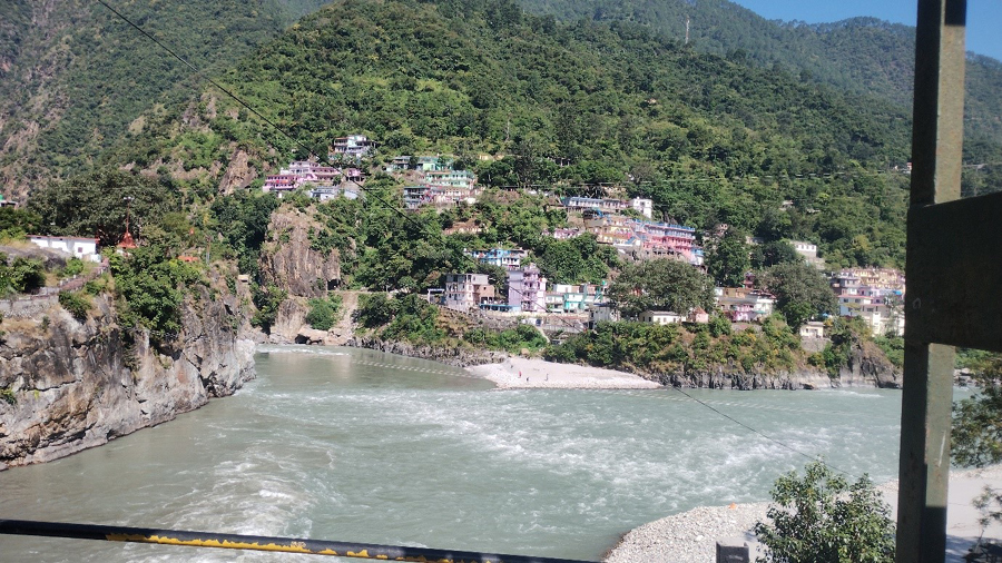
Figure 3: The confluence of the Alaknanda and Pindar rivers at Karnaprayag
Day 3 (12/10/2024): Touching the Sky at Vasudhara Falls (Badrinath to Vasudhara Falls)
This day took us to the heart of the Himalayas—a 10-kilometer trek from Mana Village to the ethereal Vasudhara Falls, nestled at an altitude of 3,700 meters. Along the trail, lively discussions about elevation-dependent warming and the diverse vegetation zones of the Himalayas brought the landscape to life. From a distance, we glimpsed the Satopanth Glacier, the Alaknanda River’s icy origin. The day concluded with an enlightening session on climate change’s impact on Himalayan glaciers.
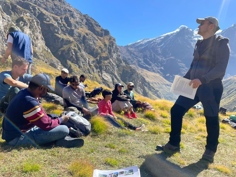
Figure 4: Discussion on elevation-dependent warming on route to Vasudhara Falls
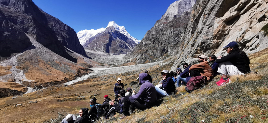
Figure 5: Another rest-cum-discussion session with the backdrop of Satopanth hills
Day 4 (13/10/2024): Tracking the source of hydropower (Badrinath to Vishnuprayag and Joshimath)
An early morning hike on the Neelkanth trail revealed how rivers are harnessed for hydropower at the Badrinath Hydropower Plant. Later, at Vishnuprayag, we stood on the scarred remnants of the 2021 Chamoli floods, a somber testament to nature’s unpredictability. The day ended with warmth—both from a bonfire and the camaraderie of the group—in Joshimath.
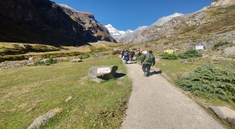
Figure 6: A hike on the Neelkanth hill trek to understand the hydropower source of the Badrinath HPP
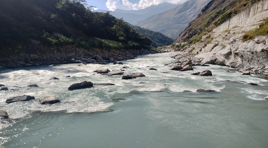
Figure 7: The confluence of the Dhauliganga and Alaknanda rivers at Vishnuprayag
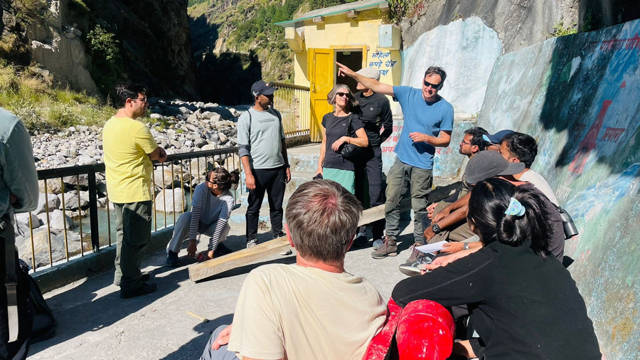
Figure 8: Discussion on the impacts of the Chamoli floods at Vishnuprayag
Day 5 (14/10/2024): Lessons from Disaster (Joshimath to Rishiganga HPP)
The next day, in the serene Lata Village, about 26 kilometers from Joshimath, we conducted a mapping exercise along the Dhauliganga River, walking through landscapes irrevocably altered by the Chamoli disaster. The shattered remains of the Rishiganga Hydropower Project stood as a stark reminder of the vulnerabilities of human infrastructure in extreme events. A visit to the affected Tapovan Hydropower Plant deepened our understanding of resilience and recovery in this region.
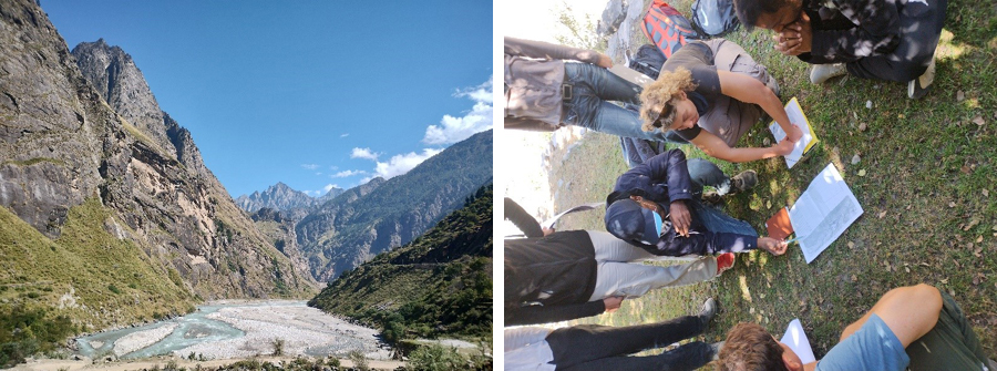
Figure 9: Mapping exercise conducted on the Dhauliganga River in Lata village
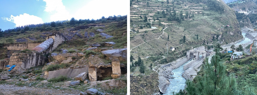
Figure 10 Left: The remnants of the Rishiganga hydropower project damaged by the Chamoli floods of 2021, Right: The Tapovan hydropower project at Tapovan
Day 6 (15/10/2024): From Confluences to Reservoirs (Joshimath to Tehri)
A long but mesmerizing drive took us to Tehri, where the rivers Bhilangana and Bhagirathi converge. The Tehri Hydropower Plant dominates the horizon, a testament to India’s quest for energy security. Conversations shifted seamlessly from lean-season river flows and climate extremes to the future of hydropower in a changing world. The day closed with music, stories, and laughter—proving that learning can be both profound and joyful.
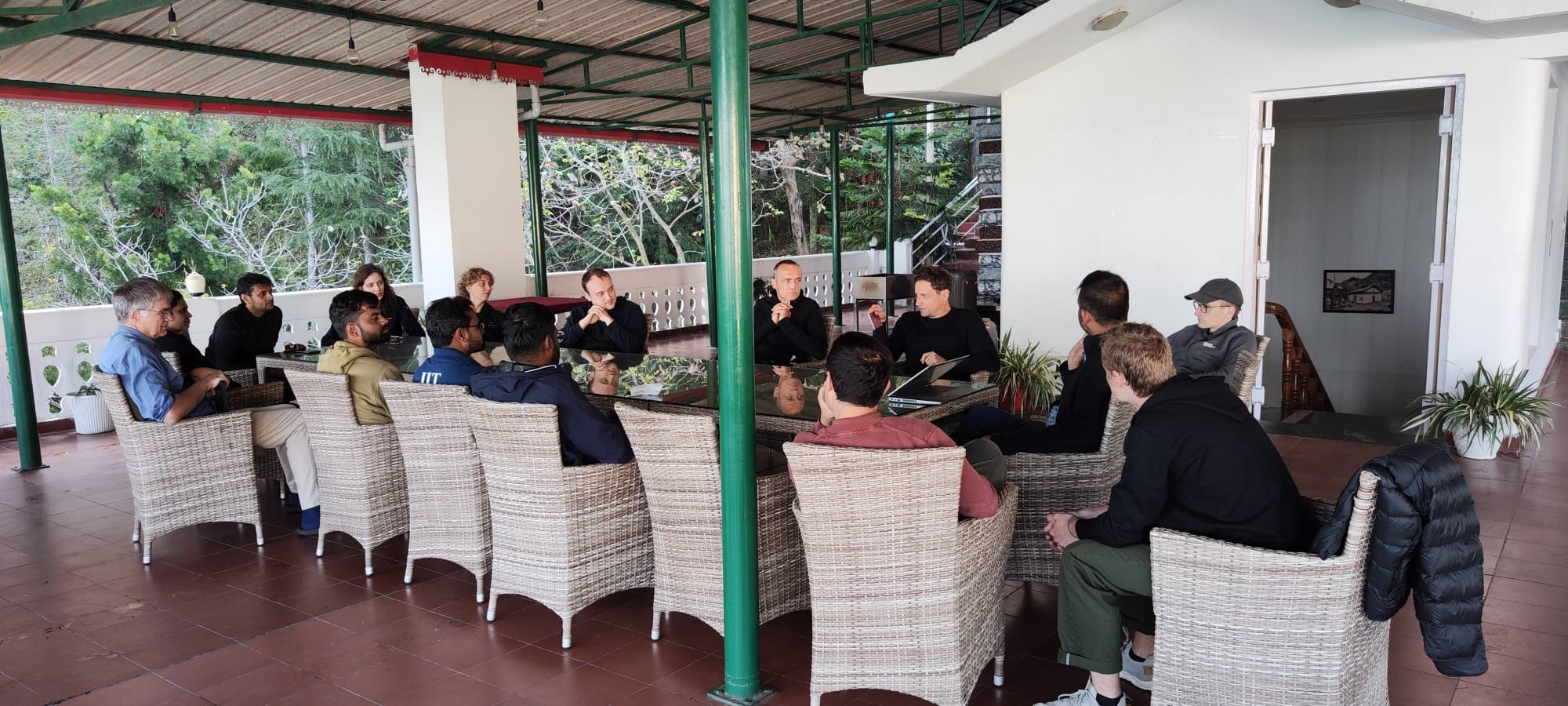
Figure 11: Feedback session on the last day of the field school at Tehri
Day 7 (16/10/2024): The Power of Engineering (Tehri to Roorkee)
The final day brought us face-to-face with engineering marvels. At the Tehri Hydroelectric Plant, engineers guided us through the dam’s colossal components, including turbines that transform water’s kinetic energy into electricity powering millions of homes. This final stop epitomized the intersection of natural forces and human ingenuity. Thereafter, the group began the journey back to Roorkee, bringing this incredible chapter of exploration and learning to a close.